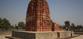
Raipur district covers an area of 13083 sq. km and lies between North latitudes 19°46’ and 21°50’ and East longitudes 81°25’ to 83°16’ with population of 3009042 as per (2001 census). Physiographically, the district is divided into three units viz. Chhattisgarh plain, eastern and south eastern undulating and hilly tract and southern hilly range. The land use pattern indicates that 42% of the area is occupied by the agricultural land.The district receives a normal rainfall of 1385 mm with 65 rainy days. The district has a tropical climatic condition. The entire district falls under Mahanadi Basin- main tributaries being Seonath, Jok & Tel.

 Heavenly India: Travel & Tourismpedia International


